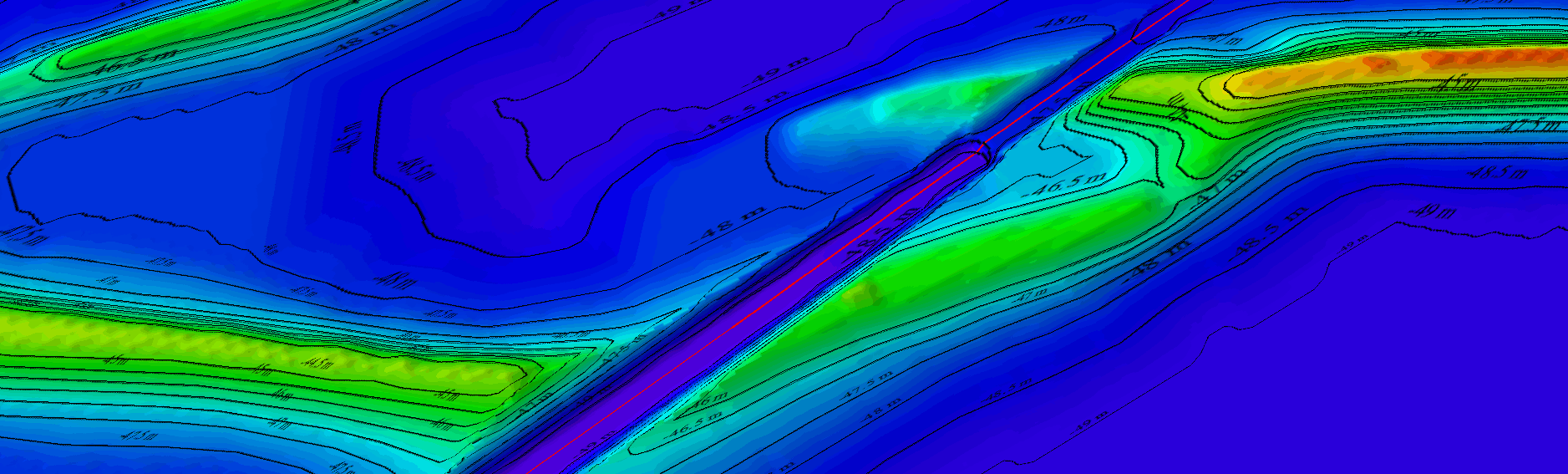
Seabed mapping
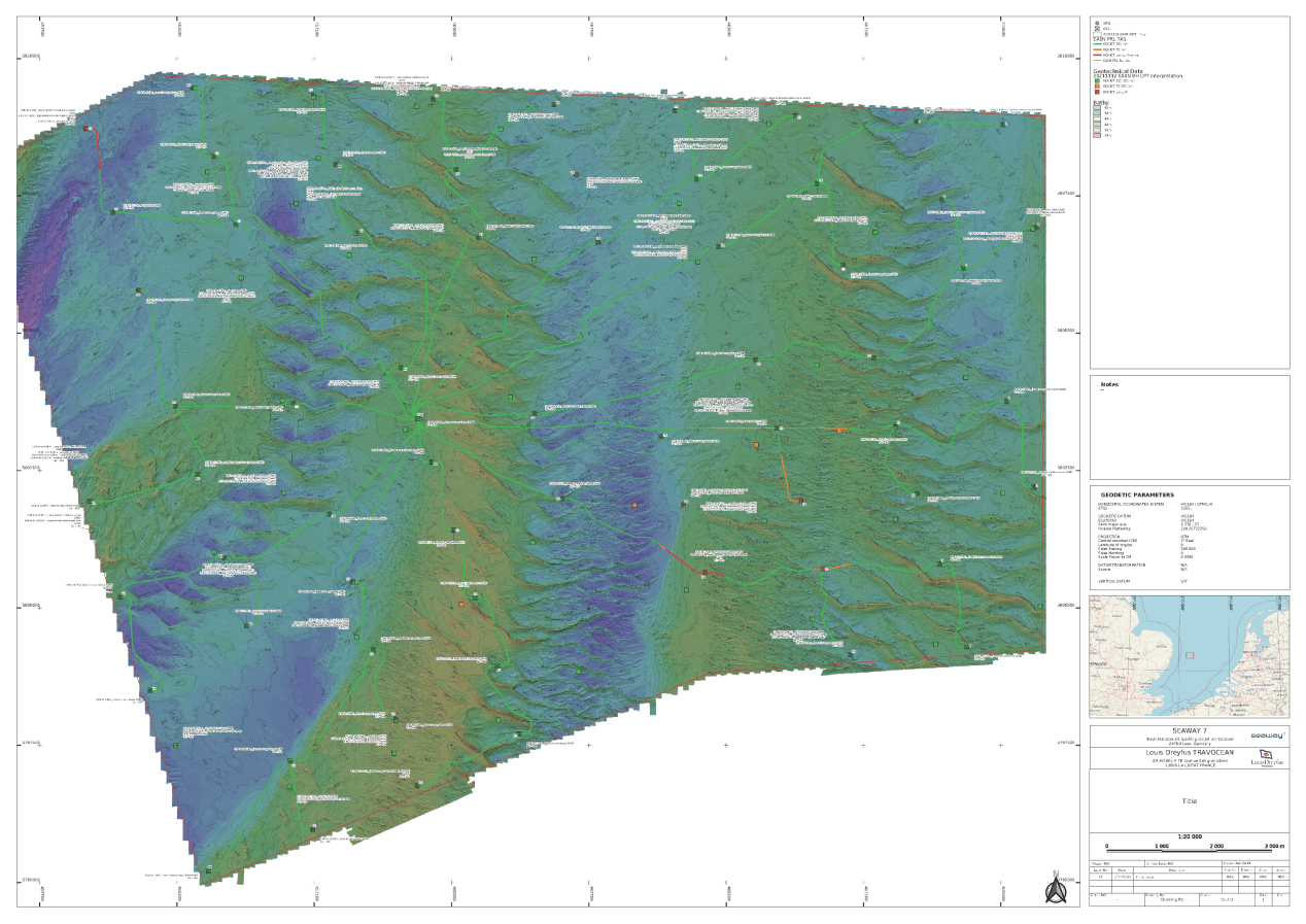
- Bathymetry
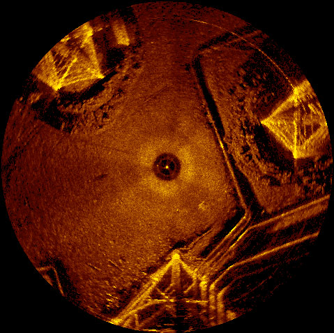
- Side/Sector Scan Sonar imagery
- Magnetometer
- Data processing
OFFSHORE GEOMATICS provides geophysical and geospatial engineering
solutions for a wide range of offshore and nearshore industries
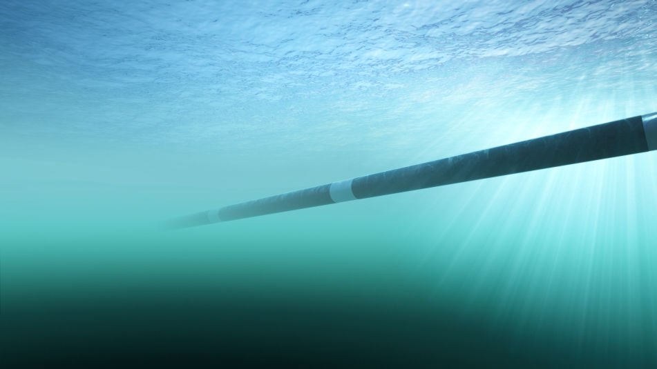
such as renewables, Oil & Gas and subsea cables.
We are determined to deliver state-of-the-art, comprehensive and
flexible solutions enabling cost effective project delivery.
- Bathymetry
- Side/Sector Scan Sonar imagery
- Magnetometer
- Data processing
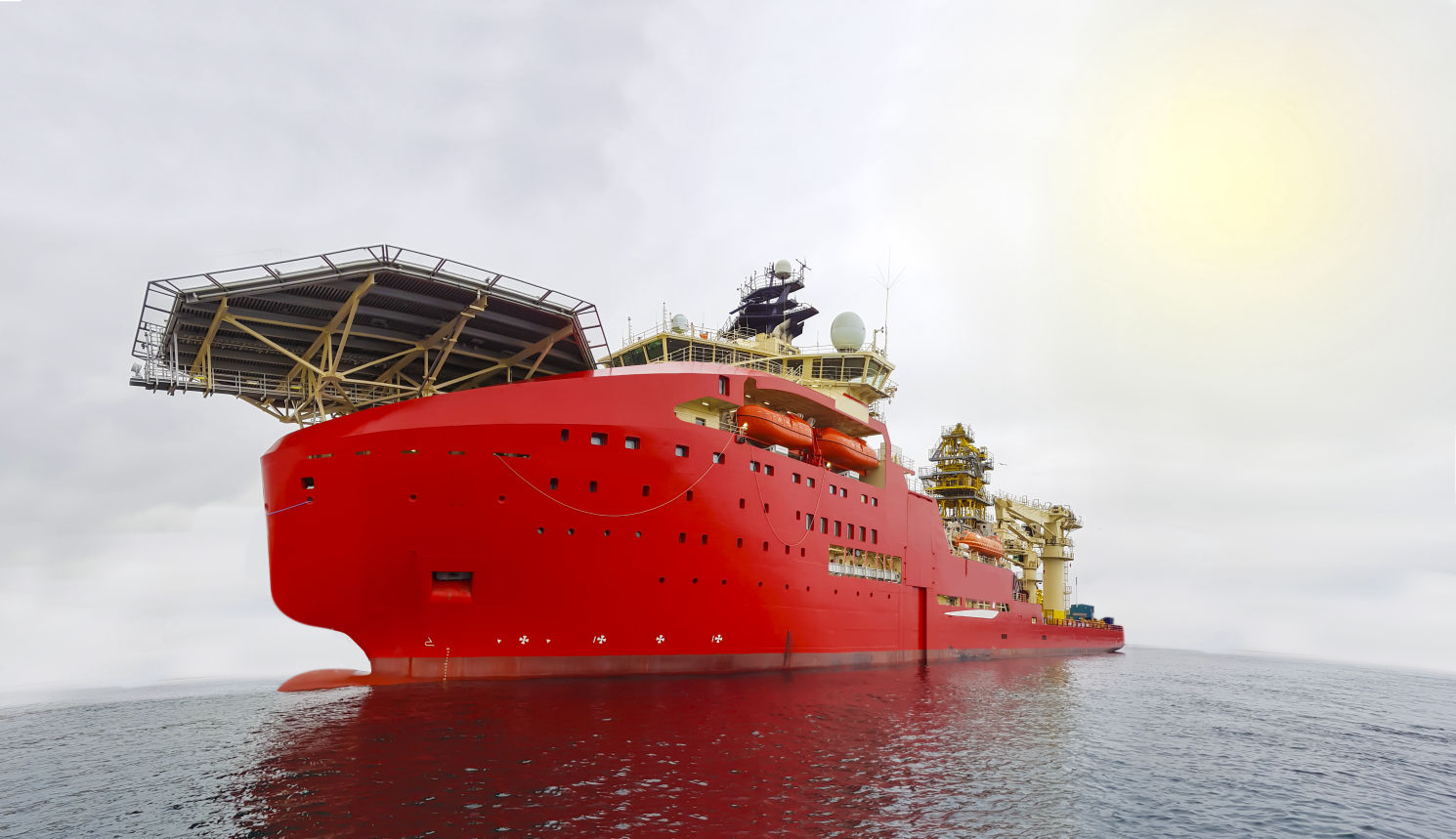
- Survey and construction vessel installation and calibration
- Rig move
- Surface positioning
- Project preparation and supervision
- Subsea positioning
- Client representative
- Burial Assessment Study (BAS)
- Charting
- GIS implementation
- Seabed Mobility Study


© 2021 Offshore Geomatics